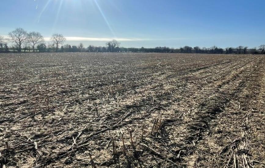
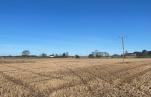
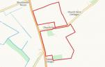
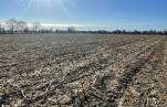
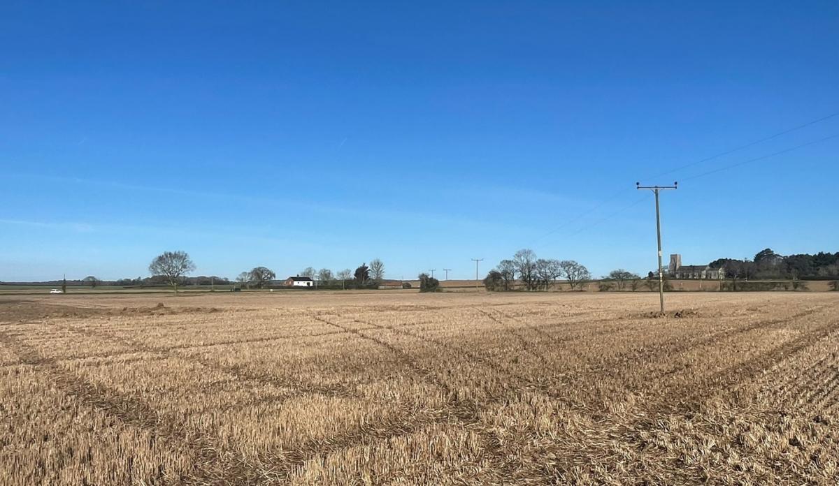
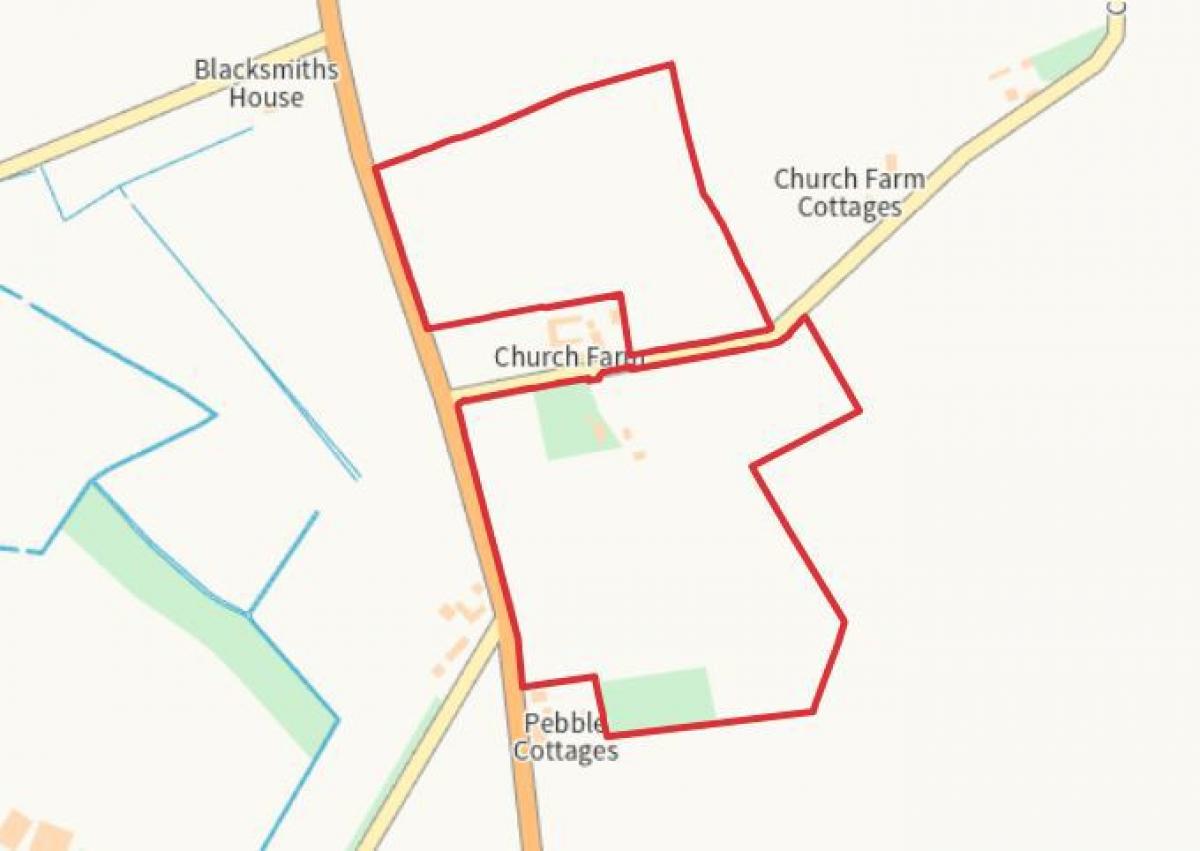
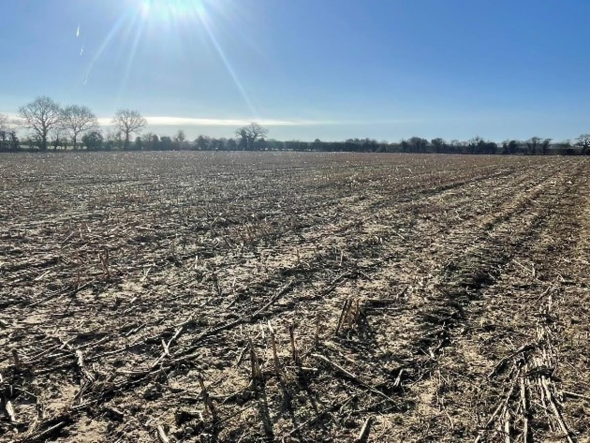
Productive arable land, with an adjoining yard, building and woodland extending to approximately 12.11 hectares (29.92 acres).
The yard/building/pond/fallow field extends to 1.13 hectares (2.80 acres). The woodland extends to 0.49 hectare (1.22 acres). The arable land extends to 10.48 hectares (25.9 acres).
The land is classed as predominantly Grade 1, with soils of the Hanworth, Sustead, Adventurers' Soil Series described as being loamy and peaty.
The land is suitable for continued agricultural use, alongside environmental schemes. Alternatively, it could be used for amenity purposes, equestrian, or for biodiversity net gain (BNG) subject to planning.
LOCATION
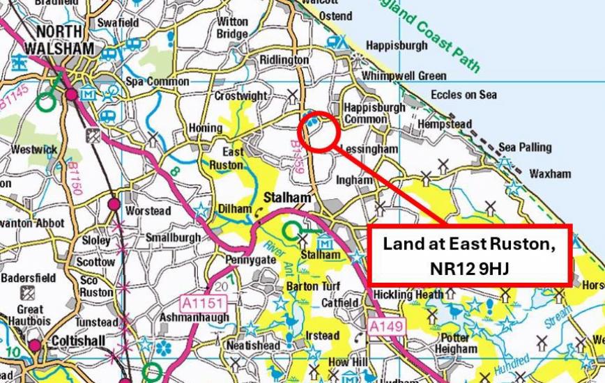
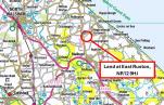
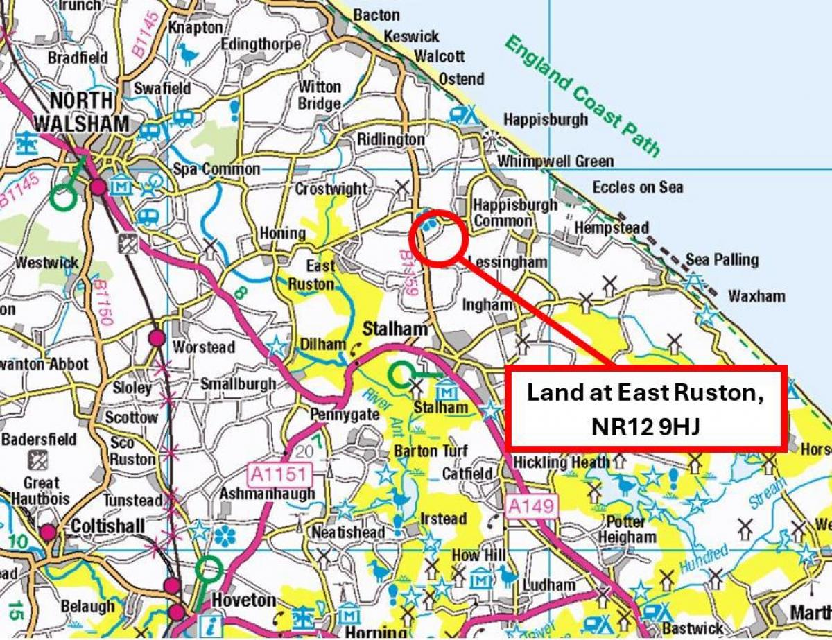
The land is situated approximately 2 miles north of Stalham and 16 miles northeast of the City of Norwich. Access to both parcels of land is directly off Church Farm Road.
Postcode: NR12 9HJ
DIRECTIONS
From Stalham, head north on Brumstead Road (B1159). Follow the road for 2 miles before taking a right onto Church farm Road. After 0.1 mile the entrance to the southern block will be on your right, immediately opposite a thatched barn. For the northern block, follow the road for another 0.1 mile and the entrance to the field will be on your left.
GENERAL REMARKS AND STIPULATIONS
VIEWING
Viewing during daylight hours only with a copy of these particulars in hand. Please be careful and vigilant when making an inspection for your own personal safety.
METHOD OF SALE
The property is offered for sale by Private Treaty as a whole with a Guide Price of £360,000.
TENURE AND POSSESSION
Freehold. Vacant possession will be given on completion.
MINERALS, TIMBER AND SPORTING RIGHTS
In so far that they are owned by the vendor, the minerals, timber and sporting rights are included in the sale.
LAND REGISTRY
The land forms part of Title Number NK337530.
ENVIRONMENTAL STEWARDSHIP
The land is entered into a Countryside Stewardship Scheme and we understand that the scheme expires at the end of 2025.
RURAL PAYMENTS AGENCY
The land is registered with the Rural Payments Agency. No Delinked Payment will be transferred.
PLANNING
The property is within the jurisdiction of North Norfolk District Council, to whom interested parties are advised to make their own enquiries in respect of any planning issues and development opportunities for the property.
HOLDOVER
Right of Holdover will be in place for the harvesting and removal of the maize crop until 30th November 2025.
OVERAGE
The land is offered for sale subject to an Overage Clause for a period of 30 years, where 50% of any increase in value will be due to the Vendor (or their Successor in Title) on the implementation or sale of land with any Planning Permissions for any non-agricultural development of the land, excluding equestrian.
RIGHTS OF WAY, EASEMENTS, WAYLEAVES AND COVENANTS
The property is sold subject to, and with the benefit of all easements, rights of way, privileges etc., which may affect the same, whether mentioned hereto or not.
OUTGOINGS
Environmental Agency General Drainage Charges.
AUTHORITIES
North Norfolk District Council - 01263 513811
Norfolk County Council - 0344 800 8020
Environment Agency - 0870 850 0250
Rural Payments Agency - 03000 200 301
VAT
In addition to the purchase price, should any sale on the property or rights attached to it become a chargeable supply in terms of Value Added Tax, such tax shall be payable by the Purchaser in addition.
PARTICULARS AND PLANS
These particulars and plans are based upon the Ordnance Survey metric editions and are believed to be correct, but their accuracy cannot be guaranteed.
MONEY LAUNDERING REGULATIONS
We confirm that under Money Laundering Regulations we are required to check the identity of the purchaser(s).
DISPUTES
Should any dispute arise between the Vendor and the purchaser(s) as to the boundaries, fences or any other point arising out of these particulars, then the Agent's decision shall be binding upon all parties.